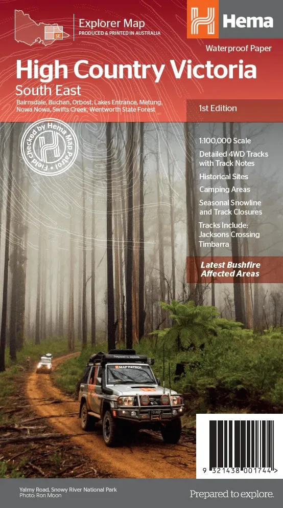
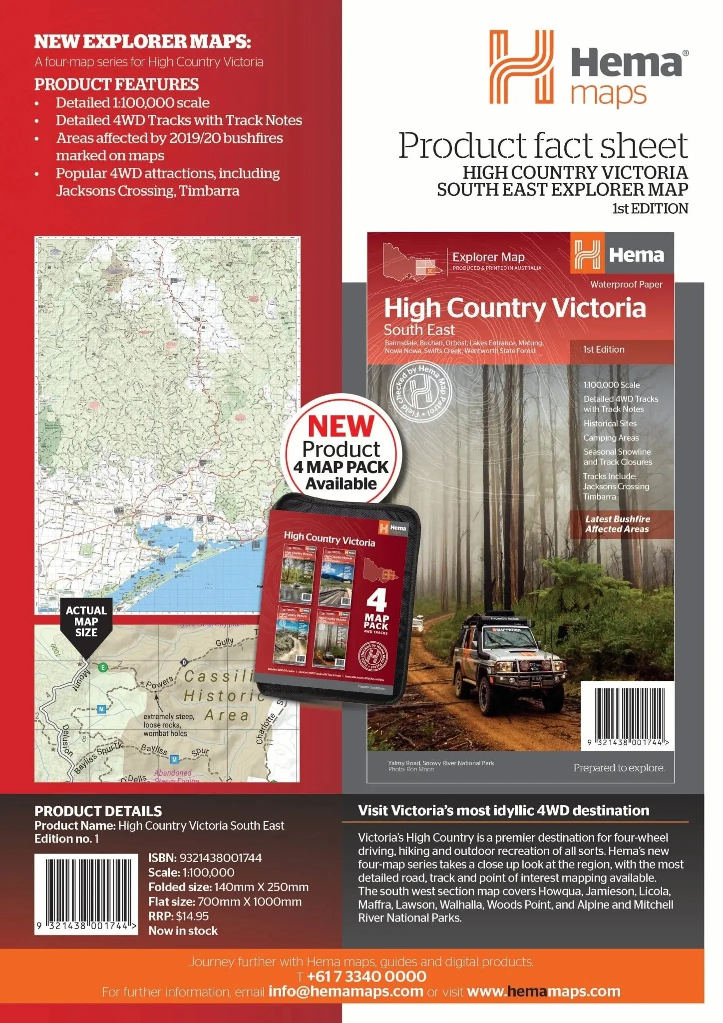
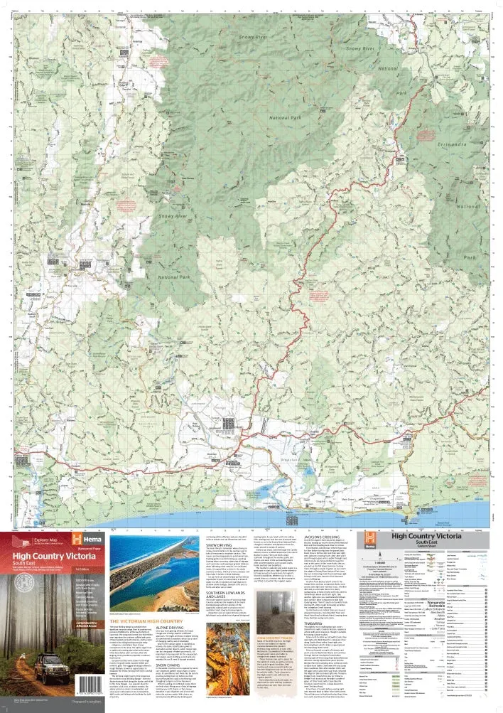
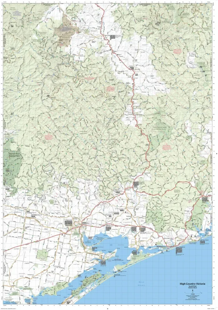
Victorian High Country Map - Southern Lowlands and Lakes (1st Edition)
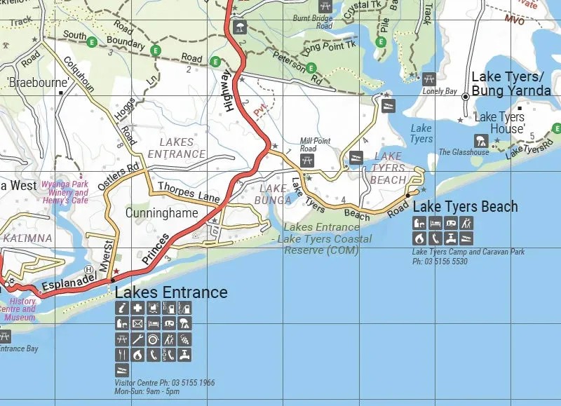
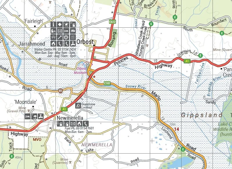
Part of Hema’s new Victorian High Country Map Series, this map provides comprehensive coverage of the Southern Lowlands and Lakes Areas. It includes key locations such as Gippsland, Howqua, Jamieson, Licola, Maffra, Lawson, Walhalla, Woods Point, and the Alpine, Snowy River, and Mitchell National Parks. Printed on durable waterproof paper, this map ensures reliability and accuracy for your outdoor adventures.
Features
- Detailed 4WD tracks with notes, including Jacksons Crossing and Timbarra
- Historical sites and old townsites
- Campsites, huts, and accommodation options
- Road distances and topographic details
- Seasonal snowline and track closures clearly marked
- Highlights of the latest bushfire-affected areas
- Extensive points of interest for touring, hiking, and outdoor recreation
Key Specifications
- Edition: 1st
- Publication Date: 15/10/20
- Scale: 1:100,000
- Folded Size (WxHxD): 140mm x 250mm x 3mm
- Flat Size (WxH): 700mm x 1000mm
- Weight: 0.09kgs
This map is perfect for adventurers exploring the Southern Lowlands and Lakes Areas. With detailed notes on tracks like Jacksons Crossing and Timbarra, along with marked camping areas, huts, and old townsites, it provides everything you need to plan a safe and memorable journey in Victoria’s High Country.
About Hema Maps:
Hema Maps is a trusted name in cartography, known for producing high-quality maps tailored to outdoor enthusiasts. Field-checked by the Hema Map Patrol, their maps combine accuracy, detail, and durability to ensure your adventures are guided by the best resources available.


