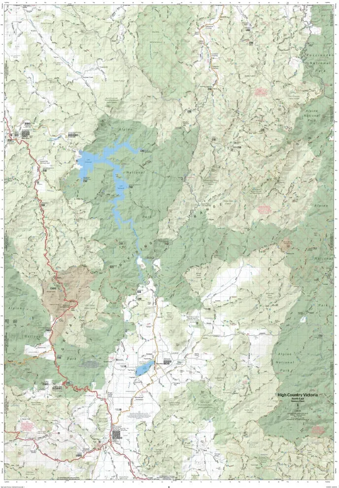
Victorian High Country Map - Northern Borderlands (1st Edition)
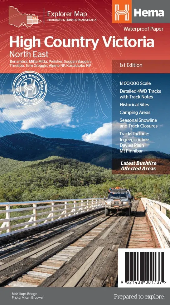
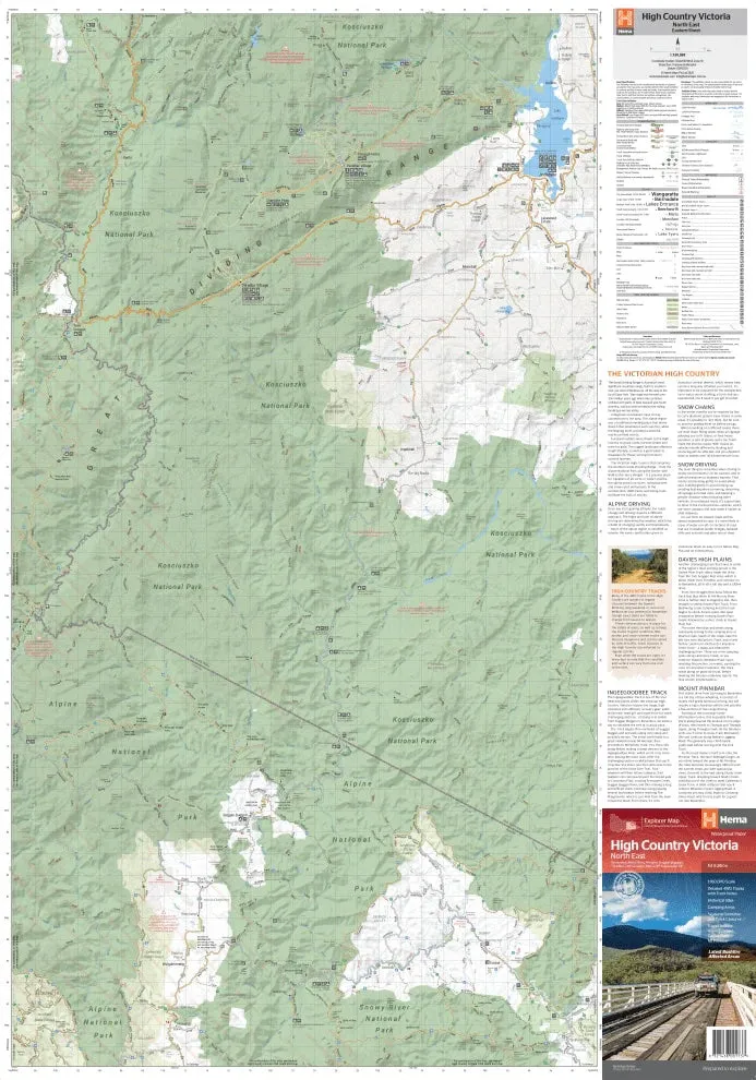
Part of Hema’s new Victorian High Country Map Series, this map is the ultimate guide to the Northern Borderlands region. Covering the ranges along the Victoria-New South Wales border from Omeo to Jindabyne, it features iconic destinations such as Benambra, Perisher, Tom Groggin, Thredbo, and Kosciuszko National Park. Printed on durable waterproof paper, this map is ideal for navigating the area’s scenic landscapes and challenging tracks.
Features
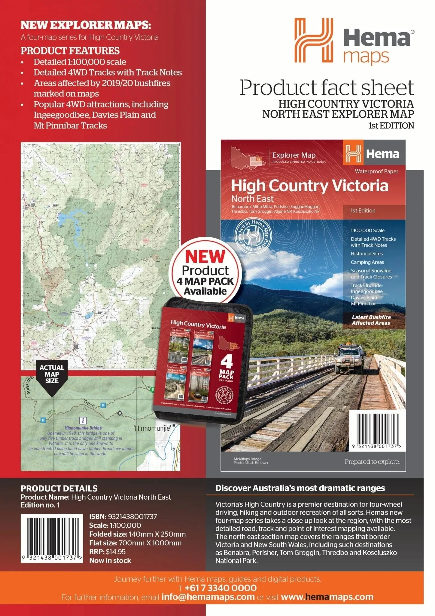
- Detailed 4WD tracks with notes, including Ingeegoodbee, Davies Plain, and Mt Pinnibar
- Historical sites and old townsites
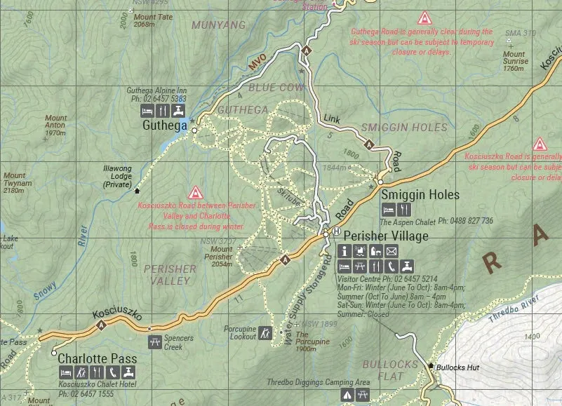
- Campsites, huts, and accommodation options
- Road distances and topographic details
- Seasonal snowline and track closures clearly marked
- Includes latest bushfire-affected areas
- Points of interest for hiking, camping, and touring
Key Specifications
- Edition: 1st
- Publication Date: 15/10/20
- Scale: 1:100,000
- Folded Size (WxHxD): 140mm x 250mm x 3mm
- Flat Size (WxH): 700mm x 1000mm
- Weight: 0.09kgs
Whether you’re navigating the Ingeegoodbee or Davies Plain tracks, exploring Kosciuszko National Park, or visiting charming spots like Benambra and Thredbo, this map offers the precision and detail needed for a safe and rewarding adventure in the Northern Borderlands.
About Hema Maps:
Hema Maps is renowned for its accurate and reliable cartographic products, field-checked by the Hema Map Patrol. Designed for adventurers, their maps provide the most up-to-date information, making them an essential resource for exploring Australia’s diverse landscapes.

