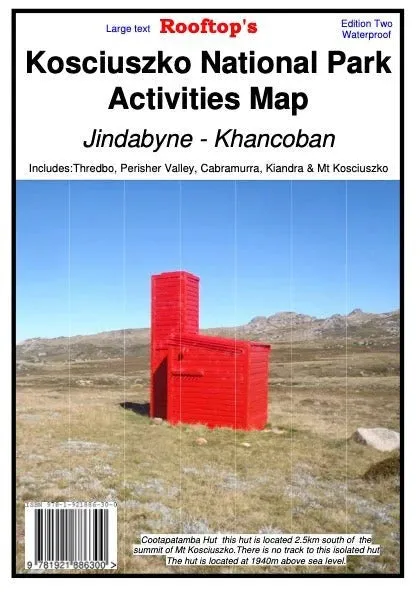

Rooftop Maps Kosciuszko National Park Activities Map
Discover the natural beauty of Kosciuszko National Park with Rooftop’s latest edition Activities Map. Designed with precision and reliability, this double-sided map covers the area from Jindabyne to Khancoban at an impressive 1:50,000 scale, including key locations like Thredbo, Perisher Valley, Cabramurra, Kiandra, and Mt Selwyn.
This map is your ultimate guide to exploring Kosciuszko’s iconic landscapes, featuring detailed track notes, camping areas, and accommodations. Perfect for hiking, camping, or 4WD adventures, it ensures you have all the information you need to navigate with ease and confidence. Printed on durable waterproof paper and field-checked for accuracy, it’s built to endure your outdoor pursuits.
Features
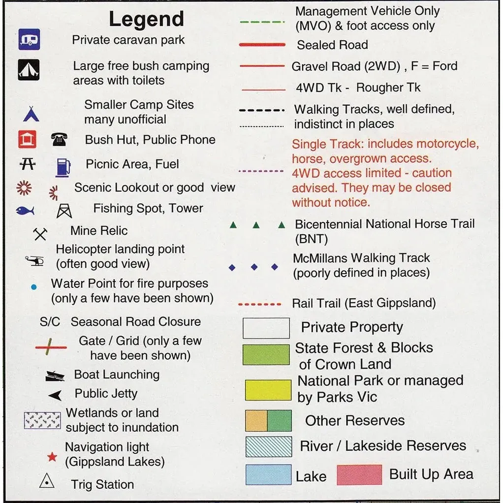
- Detailed 4WD tracks
- Covers national parks and camping areas
- Field surveyed roads and tracks
- Includes accommodation details and track notes
- Printed on waterproof paper
Specifications
- Edition: 2nd
- Publication Date: 01/11/22
- Scale: 1:50,000
- Folded Size: 145mm x 250mm x 4mm
- Flat Size: 700mm x 1000mm
- Weight: 0.09kgs


")


